


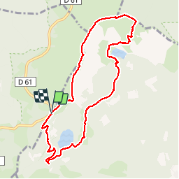
Lac Vert - Lac du Forlet - Gazon du Faing

VacheKiri67
User


3h39
Difficulty : Medium

FREE GPS app for hiking
 SityTrail
IGN / Geographical institutes
SityTrail Plus
The world is yours!
About
Trail Walking of 8.9 km to be discovered at Grand Est, Vosges, Le Valtin. This trail is proposed by VacheKiri67.
Description
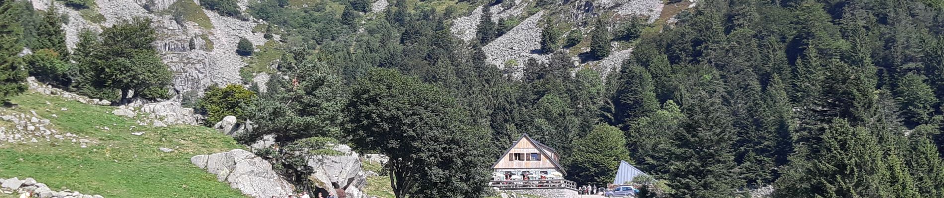
Faite le 25/08/2019. Bonnes chaussures indispensables. La montée du Forlet vers les crêtes est raide. On peut donc faire le circuit dans l'autre sens. La pause peut être faite au Chalet Erichson du club vosgien où les repas tirés du sac sont autorisés à condition d'y acheter les boissons.
Photos


25 photos in total. Please click on a photo to see them all in the gallery.
Positioning
Comments